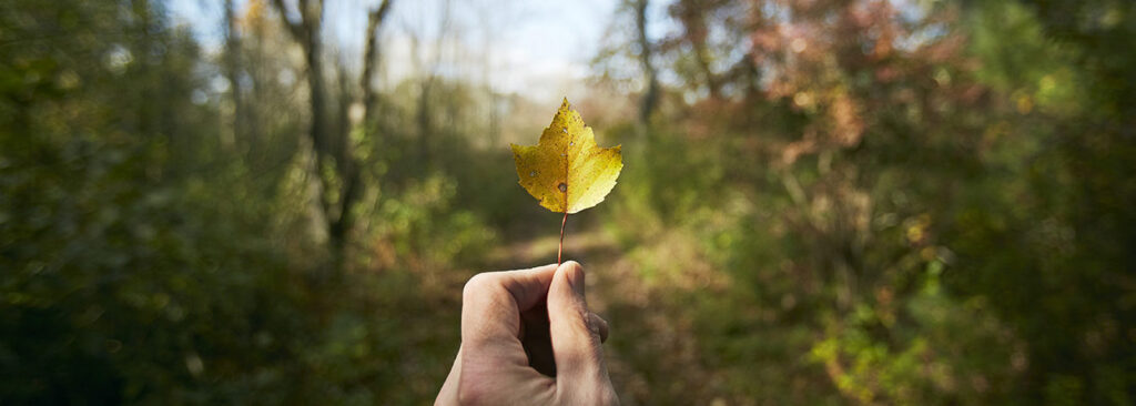
The Land
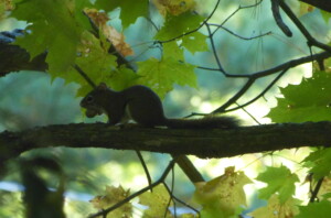
The Concord Land Conservation Trust owns almost 1,000 acres of land in Concord, offering a great variety of terrain. The land is accessible on over 26 miles of trail, from shorter, loop trails to longer trail systems that provide multi-use recreation.
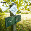
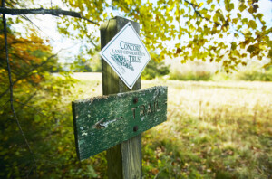
Before heading out on the trails, be sure to review our policies and guidelines in order to maximize your, and other trail users’, enjoyment of the land. Together, we are responsible for protecting the conservation and recreational values of our properties so that all may benefit – people, plants, and wildlife alike!
The larger map provides a survey of Land Trust properties. For more detailed trail route descriptions, land history, and ecology, and to view specific property maps, please click into each property below.
Members receive a 25-page Trail Guide (last updated in 2014) that includes maps of our land and informative descriptions of each property’s trails and features. Join today and receive your complimentary copy.
Discover the Lands


Chamberlin Woods
Trails: 0.56 miles on Land Trust Land
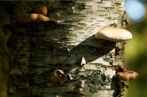
The trail leads from Lowell Road through a stone wall and a small field before entering the forest. A kiosk sits at the forest’s edge with information about the trails, woods, and history of the land. The woods consist of highly glaciated terrain, a large central swamp, and several areas of exposed ledge. They provide … read more.

Corey-Bourquin Field
Trails: 0.75 mile loop trail
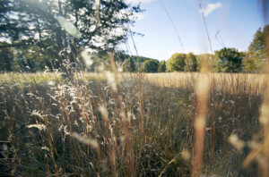
Fields and Woodlands The trail begins at the west end of the fence at the parking area on Barrett’s Mill Road and travels along the active hay field that opens out behind the houses, providing a long vista to the east. The property also offers 15 acres of pine woods and red maple swamp. As … read more.

Gowing’s Swamp
Trails: 0.31 miles on Land Trust Land
The Land Trust’s Gowing’s Swamp parcel includes 0.3 miles of a loop trail around the entire bog, traversing other conserved land. Visitors generally enter the trail at the northeast corner from Ripley School. In a clockwise direction, the trail parallels the shore of the swamp, with views through the surrounding woods. Please stay on the … read more.
Hallenbeck Land
Trails: 1 mile
From Lowell Road, the trail runs within a 50-foot wide strip of land for approximately 700 feet to the junction of the loop trail. Segments of the trail are seasonally wet; there is a plank boardwalk and a small bridge. The loop trail begins on a mowed path that follows the perimeter of a 1.25-acre … read more.
Hosmer Land
Trails: 0.5 miles on Land Trust land
The loop trail runs through Hosmer Land and Mattison Field. Walking counterclockwise, trails around Mattison Field run past a historic water tower which supported dairy cows that once grazed on this land. The field is partially cultivated farmland and is an important breeding ground for grassland birds, so please stay on the mowed trails and … read more.
Kennedy Point
Trails: 0.17 miles on Land Trust land
There is a very small loop of trail on Land Trust property that is part of the Town’s Old Rifle Range trail system. At the western corner of this parcel is a point of land that extends into Kennedy’s Pond. The pond was created by damming Second Division Brook near Harrington Avenue; much of it … read more.
Miller Farm and Garfield Road
Trails: 1.7 miles on Land Trust land
At Miller Farm, the trails are located in the upland woods, looping from Powder Mill Road and from Willard School, through the open forest floor under mature pines and some oaks, descending to a dirt farm road along the fields. The stand of even-aged white pines on the upland plateau is a distinctive feature of … read more.

Nashawtuc Hill
Trails: 3.5 miles
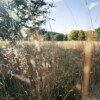
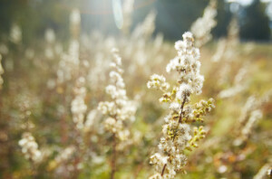
French’s Meadow is a large floodplain that extends from the Nashawtuc Bridge to the Town’s Egg Rock conservation land. The area seasonally floods and can provide beautiful panoramic field views. The property includes 0.32 miles of river frontage. The meadow has contrasting swamp and savanna with many large oaks, maples, and birches surrounding the field … read more.
Newbury Field
Trails: 1 mile
The path to Newbury Field begins with a short pass through red maple wetlands before crossing through a small field to a causeway that eventually leads to the larger field. The trail across the causeway offers views of the Spencer Brook floodplain. In the summer, the causeway looks like a green tunnel, outlined by silky … read more.

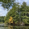
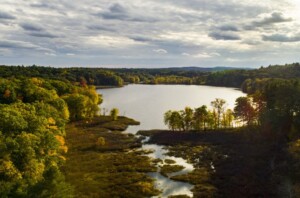
October Farm Riverfront
Trails: 2 miles on Land Trust Land
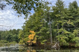
The Land Trust has over 2 miles of trail on this property, not counting the abutting Town trails. The main loop is marked by yellow disks and takes you around the property and along the Concord River. There are secondary trails that explore Holden Hill, Dakins Hill, and Ball’s Hill that are blazed in red … read more.

Soutter Field/Bigelow Woods/Hubbard Brook Farmfield
Trails: 0.83 miles
The 0.8 mile trail begins at Sudbury Road and then runs along Hubbard Brook Farmfield until it reaches Bigelow Woods. The first stretch of the trail runs between fenced pasture land and cultivated fields. A local farm –Verrill Farm– grows corn on this prime agricultural land. Because the field is well-drained upland, it can accommodate … read more.
Two Rod Road Properties
Trails: 1 mile of trail on Land Trust land
The Two Rod Road trail from Punkatasset Preserve runs along the west side of the Hutchins Land for almost half a mile. A small half-loop trail begins at the south end of the property and returns to Two Rod Road further north, for a distance of another half a mile. This is a woodland walk … read more.

Upper Spencer Brook Valley
Trails: 4 miles on Land Trust Land
This property has over 4 miles of trail that cross over conservation restriction land (observe posted rules and signs) and Land Trust property. The trails vary from forest to field cover, and the elevation changes dramatically in the forest. For those who are unfamiliar with the property, a map is recommended for exploring, as there … read more.
Wright Woods
Trails: over 8 miles
Wright Woods is the Land Trust’s largest tract of land to explore, with a diverse and long trail system. The main loop trail is marked by white disks and connects to a larger trail network on lands owned by the Town, private property owners, the Walden Woods Project, and the Town of Lincoln. The white … read more.