Nashawtuc Hill
Year Acquired: 1993-2020
Size: several properties totalling 90.5 acres
Miles of Trails: 3.5 miles
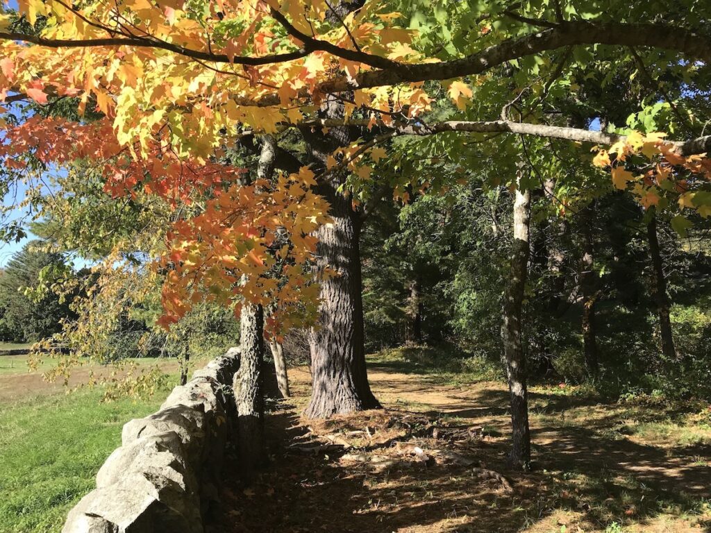
Features: River views, dramatic spring floods, abandoned railroad bed, pollinator meadows, historic woodlands.
Overview
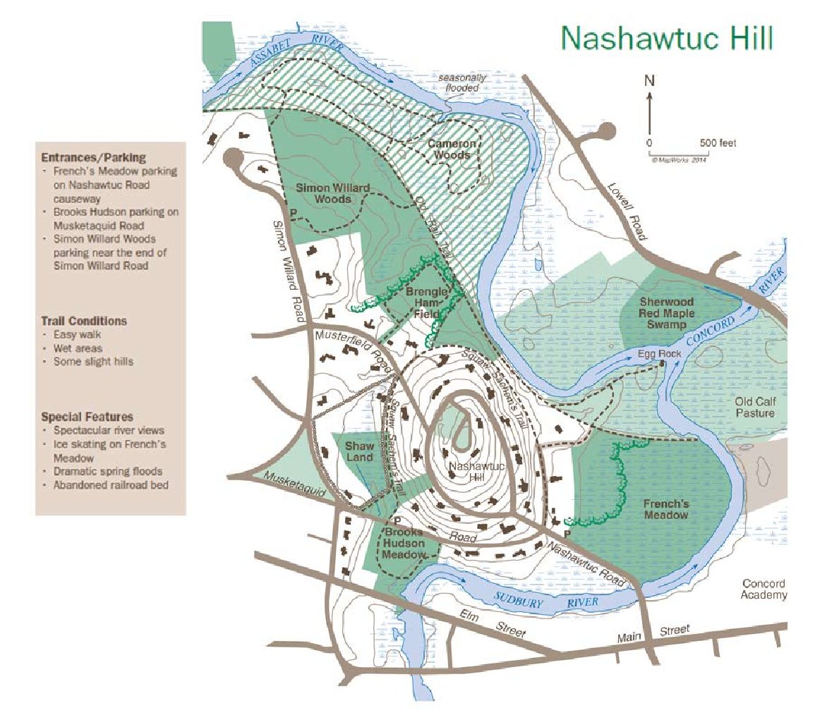
There are a variety of Land Trust trails and properties in the Nashawtuc Hill area. The spine of this open space is an abandoned railroad right of way to several of the properties. The right of way also provides access to the Squaw Sachem Trail, which connects to more Land Trust properties. As shown on the map, the Nashawtuc Hill properties can be accessed at a number of points; scroll to learn more about the different properties and access points.
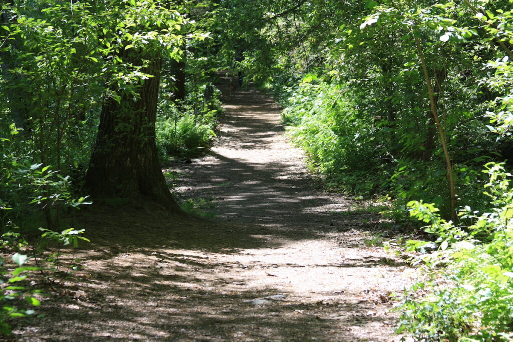
Trails: Easy walk, wet areas, some slight hills.
Entrances/Parking: French’s Meadow parking on Nashawtuc Road causeway. Brooks Hudson parking on Musketaquid Road. Simon Willard Woods parking near the end of Simon Willard Road.
Map Legend

Icons on the map can be clicked to get directions on Google Maps (works best for Parking Icons). Many Land Trust properties have trails that cross onto other land. Please stay on trails and abide by posted signs.
Explore the Land
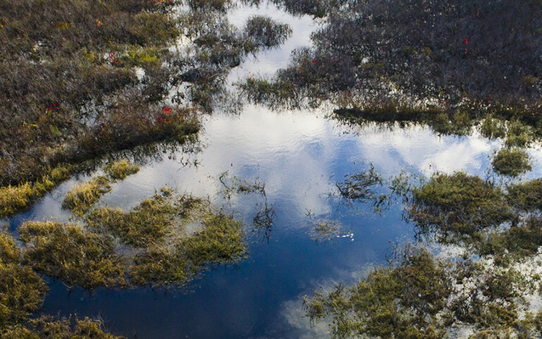
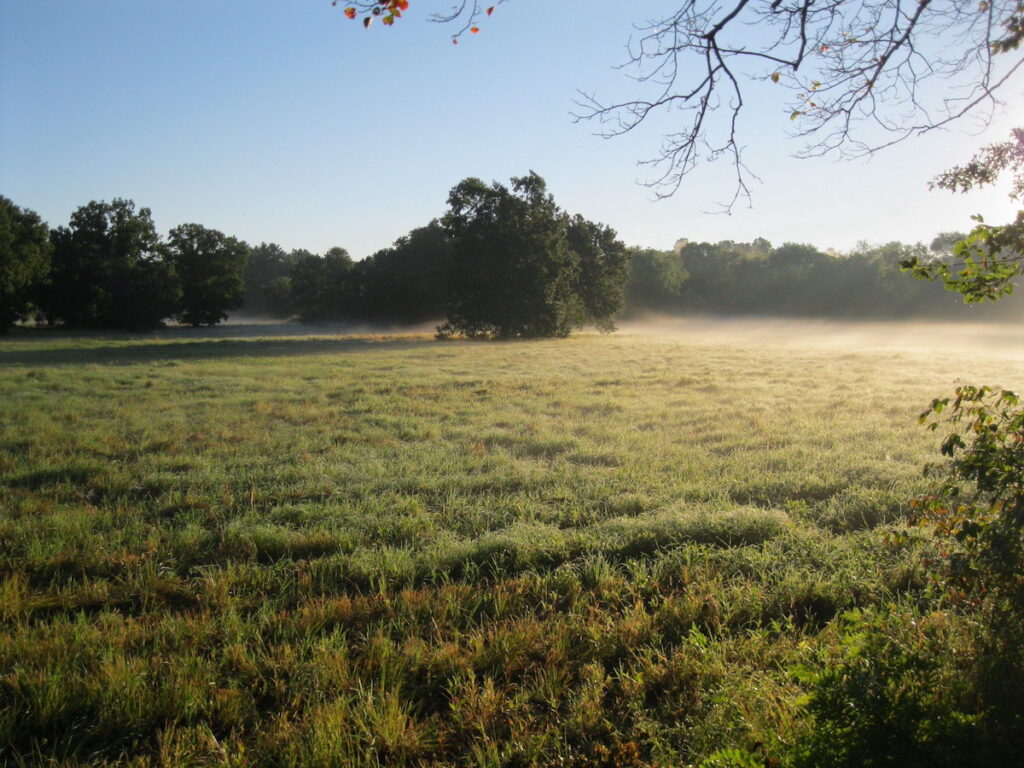
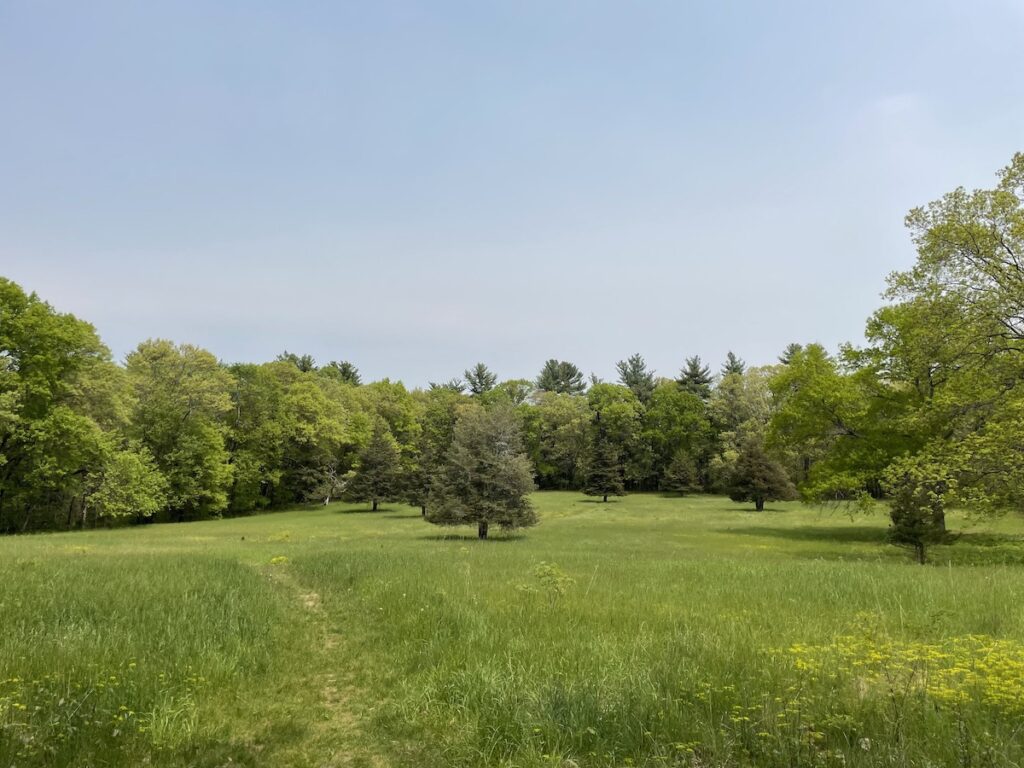
French’s Meadow is a large floodplain that extends from the Nashawtuc Bridge to the Town’s Egg Rock conservation land. The area seasonally floods and can provide beautiful panoramic field views. The property includes 0.32 miles of river frontage. The meadow has contrasting swamp and savanna with many large oaks, maples, and birches surrounding the field and scattered through the meadow. Because of its floodplain status and proximity to the Sudbury River, this area is ideal for viewing herons, waterfowl, and raptors, while songbirds move across it as a corridor. The property has most likely been a river meadow for centuries. Meadows like this were valuable sources of fodder for oxen and other livestock. Though there are no formal trails through French’s Meadow, the old railroad bed trail runs along its north edge and abruptly ends at the river where a bridge once stood that was destroyed by the 1938 hurricane.
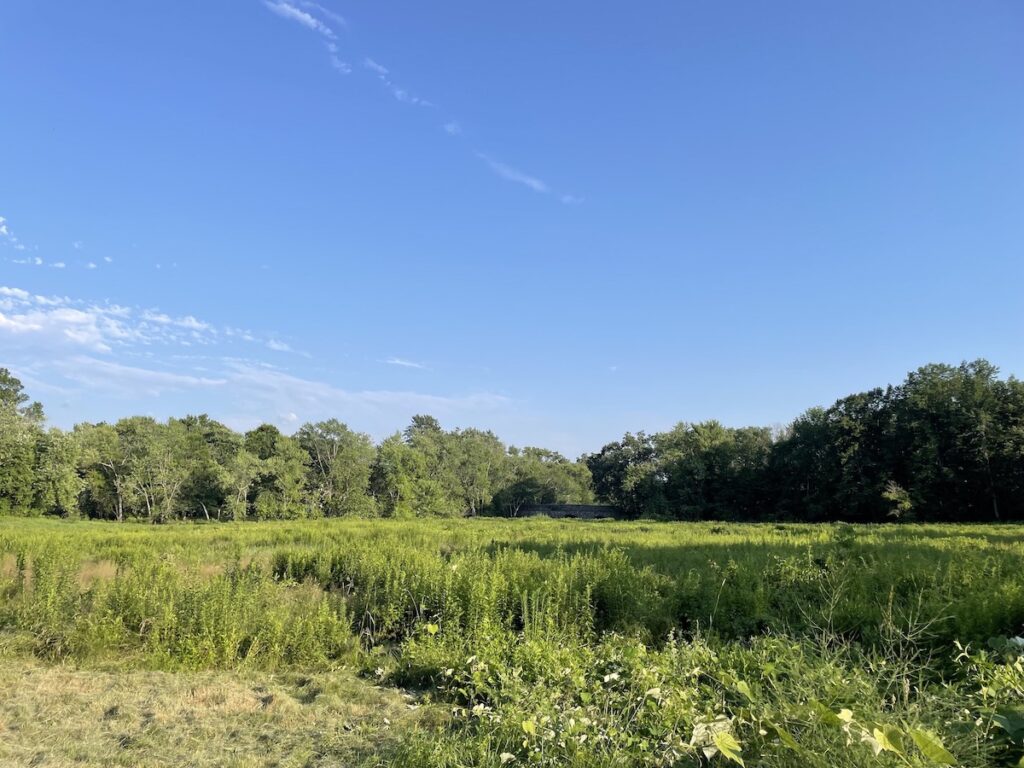
Brooks-Hudson Meadow is a wet meadow that abuts the Sudbury River. A short, 0.34-mile trail loops through the land and offers views of the river. The meadow has about 430 feet of river frontage, so segments of the meadow and trail are occasionally wet or flooded. The meadow is full of native plants such as spotted joe-pye weed, Canada goldenrod, white meadowsweet, buttonbush, and nodding beggarticks. There are a few willows and other wet-soil adapted species closer to the river. In the fall, white heath aster creeps in around the trail. There are also a few common milkweed plants and the meadow is currently being monitored by the Land Trust for its pollinator activity. Brooks Hudson Meadow is located across the street from the Land Trust’s Shaw Land.
Shaw Land is a small parcel located on Musketaquid Road that provides a trail connection among Land Trust properties. Much of this pasture is a wet meadow during the spring and part of the summer. In winter, it is easy to spot the tracks of fox and fishers. The east side of the property includes a segment of the Squaw Sachem Trail, which is elevated above the pasture behind a stone retaining wall. The trail runs past rhododendrons, azaleas, mountain laurel, and dogwoods planted by the donor family. The land is currently being monitored by the Land Trust for its pollinator activity.
Brengle-Ham Field is a dry, upland field with a short 0.2-mile trail that travels from Musterfield Road to the old railroad bed trail. Brengle-Ham Field is home to scattered cedar trees, meadow grasses, and common milkweed, the favored plant of the monarch butterfly. The field is currently being monitored by the Land Trust for pollinator activity. At the northern base of the trail, you can turn right and continue southeast towards the Town’s Egg Rock and the Land Trust’s French’s Meadow. Alternatively, you can turn left and travel through the Land Trust’s Simon Willard Woods and the conservation restricted Cameron Woods.
Simon Willard Woods is a large undisturbed woodland between a residential road and the Assabet River. At the trailhead on Simon Willard Road, two trails extend through the woods and onto the old railroad bed trail. The trail heading north is about 0.15 miles to the railroad bed and the trail heading east is about 0.25 miles to the railroad bed. A pine woods on the easterly end of this property slopes to a shallow ravine and some hardwood trees. The ravine contains an intermittent stream which flows to the Assabet River and along which there are numerous wetland plants. To the north of Simon Willard Woods, across the railroad bed, is Cameron Woods. Cameron Woods is private property protected through a conservation restriction held by the Land Trust which offers 39 acres of woodland along the Assabet River. The trails are open to the public but please stay on them.
As one travels east on the railroad bed, oaks and maples line the slope towards the river, and birch and ash trees may be seen along the trail. Logs across the river cause bottom scouring and deep holes with larger fish. From the railroad bed, users can explore Brengle-Ham Field, Egg Rock, and French’s Meadow.
The Assabet Woodlot and the Edelman Land lie in the heart of the Nashawtuc Hill’s open space between Simon Willard Woods and the Town’s Egg Rock. Between the Assabet Woodlot and the Edelman Land, there is about 630 feet of river frontage along the Assabet River. This land has a few trails, most notably connecting the Squaw Sachem Trail to the old railroad bed.
History of Preservation
The first property acquired in the Nashawtuc Hill area was the 29.29-acre French’s Meadow. The Land Trust purchased this land from Aletta Lillibridge French in 1961.
The Shaw family has been heavily involved with the Land Trust since its inception. In 1963 and 1965, Walter Shaw Jr. donated two parcels of land totalling 1.97 acres in the Nashawtuc Hill area. Nearly 50 years later, in 2010, his son, Gordon Shaw, a trustee emeritus of the Land Trust, donated a pasture that had been in the Shaw family for over 70 years. This 5.3-acre parcel, known as the Shaw Land, abuts the parcels given by Gordon’s father.
In 1965, Ruth Brooks and Reginald and Joan Hudson donated a 3.63-acre parcel and a 2.47-acre parcel of land, respectively. Together, they became known as the Brooks-Hudson Meadow.
A year later, Thomas K. Sherwood donated 7.6 acres of swamp land to the Land Trust. This is known as the Sherwood Red Maple Swamp and it is located on the northern area of the river confluence.
The next donations and acquisitions occurred in the 1990s and 2000s, beginning with Brengle-Ham Field. This property was given to the Land Trust by two different families. The first parcel of 1.9 acres was donated by Edith, Phebe, and Deborah Ham in 1992 and 1997. William and Agnes Brengle donated an additional 4.5 acres in 1993. These parcels combined to form the 6.4-acre Brengle-Ham Field, located on Musterfield Road.
A large 29-acre parcel of land was acquired in 2000 from William Garth, Susan Stott, and Granvill Garth, and became known as Simon Willard Woods. This land is part of the property granted to Simon Willard, an original settler in Concord. For some 365 years, the premises, including the abandoned railroad line and the 50’ wide private way, had never been subdivided into different ownerships. The area had been used for pasture and, from 1897 to 1913, was rented by the original owner, William Wheeler, to the Concord Golf Club for use as a nine-hole course (before moving to its present location and becoming the Concord Country Club). Since 1913, the land has reverted to woodland and has not been timbered or extensively cut.
In 2006, the Assabet Woodlot was purchased. The Land Trust received generous donations from neighbors, members of the Land Trust, and the Shaw Family to obtain this 3.5-acre parcel. Most recently, the Edelman Land was donated in 2020 by Michael and Tara Edelman and added 1.4 acres to the conserved land in Nashawtuc Hill.