Hallenbeck Land
Year Acquired: 1995 and 1996
Size: 18 acres
Miles of Trails: 1 mile
Features: Bird habitat, old meadow, kettlehole pond, vernal pool.
Overview
Tucked behind the houses on Lowell Road, Hallenbeck Land’s 18 acres reveal a varied landscape of old meadow and glaciated woodlands. The bulk of the property was donated by Jane Hallenbeck to the Land Trust in 1995.
Trails: Level with some steep areas; plank boardwalk, small bridge.
Entrances/Parking: Park along Indian Spring Road and then walk north along Lowell Road on a sidewalk for about 0.2 miles; the trailhead will be on the left-hand side with a sign indicating Hallenbeck Land.
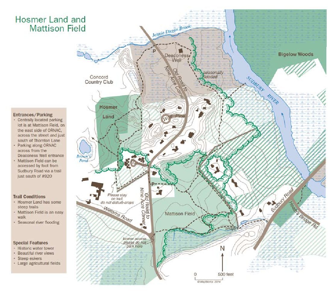
Map Legend

Icons on the map can be clicked to get directions on Google Maps (works best for Parking Icons). Many Land Trust properties have trails that cross onto other land. Please stay on trails and abide by posted signs.
Explore the Land
From Lowell Road, the trail runs within a 50-foot wide strip of land for approximately 700 feet to the junction of the loop trail. Segments of the trail are seasonally wet; there is a plank boardwalk and a small bridge.
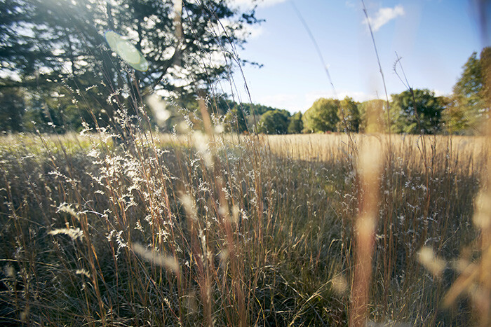
The loop trail begins on a mowed path that follows the perimeter of a 1.25-acre meadow. Turning north (or to the right), the trail crosses large flat stones that were set by early farmers to bridge the ditches and brooks. This is a wet meadow, lushly vegetated with wetland plants like red maple and willow trees that bloom in spring and hang over the meadow. In March, skunk cabbage can be found in several areas in the meadow and along portions of the trail. Because it is fly-pollinated, the plant emits a certain unpleasant smell that attracts flies. The meadow is home to a few native species, including mountain mint, joe pye weed, and hazelnut flower.
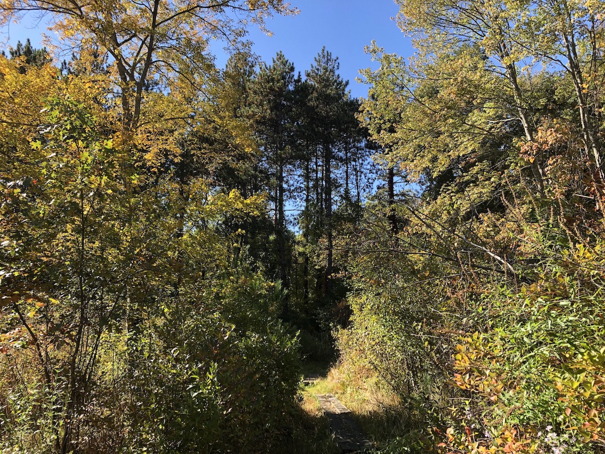
At the far side of the meadow, the trail enters oak and pine woods, rising and falling with the glaciated terrain. The western corner of the property surrounds a kettlehole bog and vernal pool. While this is slowly becoming a shrub wetland, the sphagnum moss at its perimeter is growing over water and peat; for your safety do not attempt to walk into the bog. Wood frogs and peepers breed here in the spring.
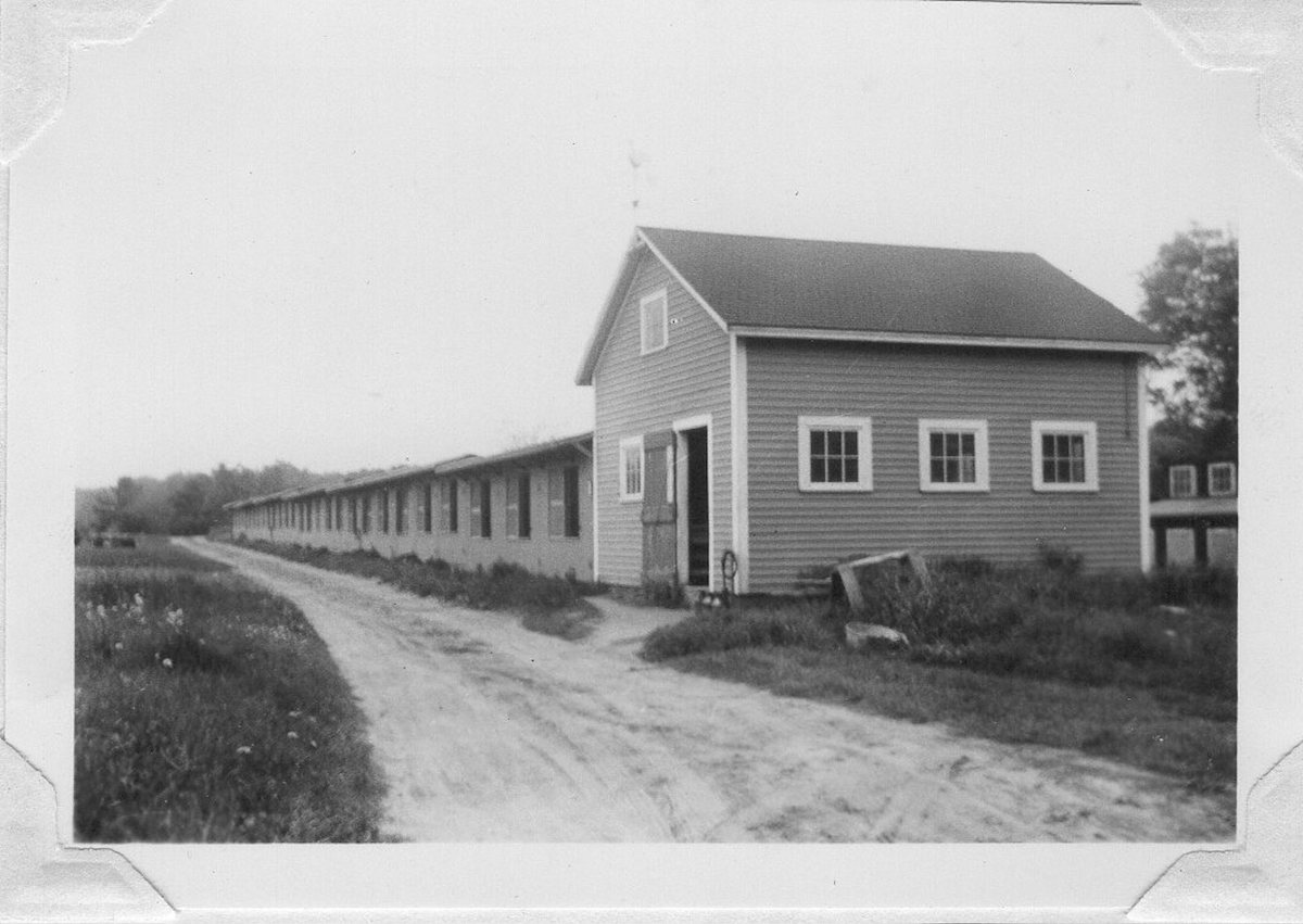
The blue side trail passes by an extensive myrtle patch and an old foundation that mark the site of a farm worker’s house once part of the Tompkins family’s chicken farm. Note the nearby “borrow pit” that was a source for sand and gravel used on the farm; reputedly, this was where people gathered to watch and wager on cockfights. Beginning in Rhode Island and continuing over three generations, the Tompkins’ work in cross-breeding chickens resulted in the Rhode Island Red.
History of Preservation
Hallenbeck Land consists of 18 acres of land acquired from Jane Hallenbeck in 1995 and 1996. Jane and her husband Dorr lived in their house adjacent to the land for almost 40 years, taking care of these meadows and woods. After Dorr’s death, and in preparation for moving, Jane subdivided the land and donated 15.8 acres to the Land Trust. She also sold two additional parcels to the Concord Open Land Foundation. One parcel was donated to the Land Trust and the other was sold with a conservation restriction to an abutter. Hallenbeck Land is tucked behind the houses on Lowell Road and became easily accessible to the neighborhood when a sidewalk was built along Lowell Road in 2012.